

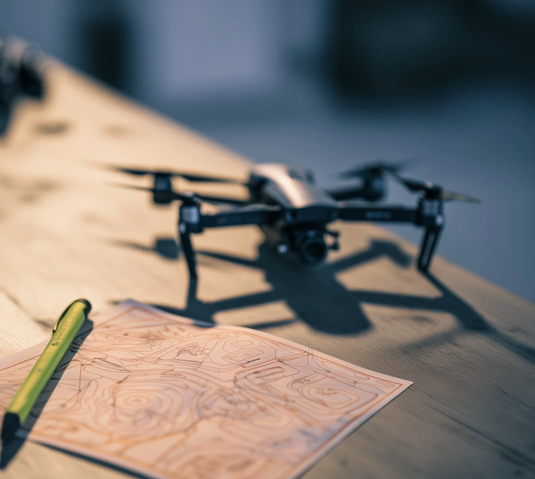
What Are Agricultural Drones?
Agricultural drones represent a transformative leap in modern farming, moving beyond traditional methods to embrace precision, efficiency, and sustainability. These Unmanned Aerial Vehicles (UAVs) are fundamentally reshaping how farmers manage crops, optimize yields, and conserve vital resources. Historically, agricultural practices often relied on broad-acre, uniform applications and labor-intensive manual scouting. Ag-drones facilitate a decisive shift towards highly targeted, data-driven farming.
Agricultural drones broadly fall into two main functional categories based on their primary operational roles.
Heavy-Lift Spray/Spread Drones equipped with specialized systems designed for the precise application of liquid or granular materials such as fertilizers, pesticides, and herbicides.
Multispectral and Hyperspectral Monitoring Drones equipped with advanced sensors for comprehensive data collection and analytical purposes related to crop and soil health.
Agricultural Spray/Spread Drones
Spray/Spread drones are sophisticated UAVs engineered for the precise application of various agricultural inputs. These drones are outfitted with all the necessary tanks, pumps, pressure gauges, hoses, and flow meters needed to enable them to accurately distribute fertilizers, pesticides, herbicides, or other substances.
The capabilities of these drones extend significantly beyond traditional spraying methods.
Targeted Application Spray/spread drones can apply materials precisely where needed, often guided by application maps generated by multispectral drones. This capability facilitates variable-rate spraying and spot treatments with accuracy down to 1/100th of an acre. These drones are proving particularly advantageous in areas inaccessible to heavy ground equipment, thereby preventing soil compaction and crop damage.
Improved Efficiency Spray/spread drones dramatically improve spraying operations, capable of covering extensive areas—up to 500 acres in a single day—which represents a substantial time saving compared to traditional methods and drastically reduces manual labor requirements. Furthermore, the drone’s propellers generate turbulence in the crop canopy, significantly improving droplet penetration into the lower parts of the plant, a notable advantage over conventional ground sprayers.
Versatility in Terrain is ensured by terrain sensors and Real-Time Kinematics (RTK) technology, providing centimeter-level precision that allows them to maintain optimal flight height over uneven and hilly landscapes and navigate slopes automatically.
Versatile Uses Beyond their primary spraying function, these drones can carry out aerial seeding for reforestation, cover cropping, and wetlands remediation.

Increased Farmer Safety
Less Exposure to Chemicals Agricultural drones apply pesticides and chemicals at a distance. This ensures that the only time farmers are directly exposed to them is at the mixing stage. This ensures that they are safer and healthier. Ag-drones’ accuracy also allows them to replace backpack spraying, a job which exposes farm laborers to disproportionately high amounts of chemicals.
Less Risk of Injury Every year hundreds of American farmers are killed or injured in tractor roll-over accidents. And that doesn’t count the number of roll-overs or slides down a steep bank in which the farmer is safe but the equipment and crops are severely damaged. Because ag-drones get the farmer off the equipment, and the equipment off the ground, it takes the risk of operating on uneven terrain out of the equation.
Environmental Benefits
Spray drones benefit the environment in a number of ways. They significantly reducing chemical runoff into waterways. The avoidance of heavy ground equipment traffic prevents soil compaction and physical damage to established crop canopies, thereby preserving soil health and structure. Additionally, the decreased fuel consumption resulting from fewer field visits and optimized material use contributes to a lower carbon footprint and reduced greenhouse gas emissions.
A particularly compelling application of spray/spreader drones is in the remote remediation of native plants and the protection of wildlife. Drones provide innovative solutions for identifying, monitoring, and precisely treating invasive species, especially in hard-to-reach or ecologically sensitive zones. Leveraging AI tools, these drones can pinpoint specific pockets of invasive species, enabling highly targeted herbicide application that avoids harming unaffected native areas.
They can also be effectively utilized for native plant reseeding on challenging terrains, such as steep bluffs, promoting the regeneration of diverse habitats and ensuring soil stability.
This technology contributes to biodiversity enhancement by enabling precision monitoring of plant and wildlife populations, facilitating the creation of detailed maps of habitat corridors, and assessing soil health to foster microbial diversity, all accomplished without disturbing delicate ecosystems. For instance, drones can track endangered species from safe distances using thermal imaging and AI recognition software.
What are Multispectral and Hyperspectral Drones?
Multispectral and hyperspectral drones play a crucial role in modern crop monitoring. These UAVs are equipped with sophisticated sensors and high-resolution cameras designed to gather detailed data and images from agricultural fields, providing real-time insights into crop health and growth patterns. The comprehensive data collected forms the bedrock for informed decision-making in precision agriculture.
These drones offer a range of significant capabilities. They enable rapid disease and pest identification by capturing data across various wavelengths, allowing them to discern subtle variations that indicate stress, nutrient deficiencies, or the nascent stages of diseases and pest infestations, often before these issues are discernible to the human eye. This early detection facilitates swift, targeted intervention, which is crucial for minimizing the spread of pathogens and preventing potential yield losses.
Furthermore, they are instrumental in the creation of application maps. By assessing crop health and nutrient stress levels, farmers can generate precise fertilization maps, ensuring that nutrients are applied only where and when needed, thereby optimizing resource utilization.
Similarly, these drones can identify dry areas or water stress within a field by measuring temperature variations or analyzing vegetation indices, guiding the development of targeted irrigation maps to conserve water effectively.
Beyond crop-specific applications, these drones contribute to comprehensive soil health analysis. They facilitate the collection of diverse soil data, providing critical insights into soil characteristics such as type, moisture content, nutrient levels, pH, and drainage patterns.
This information is vital for informed decisions regarding nutrient management and soil conditioning practices. The continuous monitoring of plant growth from emergence to harvest, coupled with the analysis of health indicators, also contributes to more accurate yield prediction and optimization, allowing for timely interventions that can significantly boost crop yields.
This capability signifies a fundamental shift from reactive to predictive agriculture. Instead of merely reacting to visible problems, farmers can anticipate issues based on subtle spectral signatures or historical data patterns.
What is the Difference?
The primary distinction between multispectral and hyperspectral drones lies in the number and contiguity of the spectral bands they capture, which directly influences the level of detail and analytical depth of the data acquired.
Multispectral Drones
Multispectral Drones employ sensor technology where cameras typically feature multiple lenses, each equipped with a distinct filter designed to focus on specific, discrete wavelengths. They capture data across a limited number of spectral bands, generally ranging from 3 to 20, and these bands are non-contiguous.
Common bands include visible light (Red, Green, Blue) and specific non-visible bands such as Near-Infrared (NIR). Multispectral drones generally offer good spatial resolution, providing clear images of the field.
Their applications commonly include assessing general crop health, monitoring vegetation indices like NDVI (Normalized Difference Vegetation Index), detecting broad areas of stress, and identifying the severity of infections in later stages. The data volume is manageable, and analysis is relatively straightforward, often relying on established vegetation indices, contributing to their practicality for routine monitoring.
Hyperspectral Drones
Hyperspectral Drones, in contrast, utilize imaging systems that capture data across a much wider range of wavelengths, often encompassing hundreds of continuous spectral bands. Each pixel in a hyperspectral image is a vector of values representing intensities across these numerous contiguous bands, providing a "comprehensive fingerprint" for material identification.
While offering exceptionally high spectral resolution, these drones typically have lower spatial resolution compared to multispectral sensors. Their applications are geared towards more detailed and nuanced analysis, including precise crop classification, variety identification, plant phenotyping (analyzing anatomy, physiology, and biochemistry), and the early diagnosis of plant stress (such as drought, nutrient deficiencies, pest infestations, and diseases) even before visible symptoms manifest. They can also evaluate soil health and individual crops, enabling highly targeted pesticide application.
The complexity of hyperspectral data is significantly higher, generating a very large volume of information that necessitates powerful tools and machine learning techniques for the extraction of meaningful insights and comprehensive analysis.
The choice between multispectral and hyperspectral technology involves a strategic decision based on the specific agricultural challenge, the required level of detail, budget constraints, and the available data processing infrastructure. While hyperspectral offers unparalleled detail for deep analysis and early detection, which is invaluable for research or high-value crops, this comes with the trade-off of higher data complexity, processing requirements, and potentially higher sensor costs and lower spatial resolution.
Multispectral technology, conversely, offers higher practicality and cost-effectiveness for broader, routine agricultural applications. This highlights that more data is not always better for every application; rather, it is about acquiring the right data for the specific problem at hand.